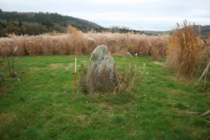
Archaeology Wales staff carried out an intrusive archaeological evaluation at Gogerddan Campus, University of Aberystwyth, Ceredigion, ahead of planned development works. Two areas were investigated, one in the centre of the site and one near the extant Cae Lodge.
The site had been subject to a previous Desk-based Assessment and Geophysical Survey, being located in an area of known archaeological activity, with funerary and ritual activity recorded from the Neolithic, Bronze Age, Iron Age and early medieval periods to the southwest. The site was also in relatively close proximity to the late medieval and post-medieval mansion of Gogerddan.
The evaluation comprised the archaeological investigation of ten machine-excavated trenches, five within the Cae Lodge Area, and five within the Central Area. The trenches were largely located to target areas of potential archaeological significance identified by the geophysical survey.
Within the Cae Lodge Area, the only features exposed belonged to modern services and 19th/20th century agricultural land drains. A potential circular enclosure identified from previous aerial photographs was not found.
Within the Central Area, a potential circular enclosure, defined by banks and ditches and visible on the ground as a moderate but significant slope, appeared on excavation to be a naturally occurring river-terrace. No banks or significant ditches, or internal features were identified. To the southeast, however, a more significant feature was revealed, part of a 1.4m wide, 0.7m deep, ditch, the remains of which were overlaid by a possible trackway. No dateable material was recovered, although both pre-dated later post-medieval agricultural activity located in the same area.
Subsequently, a targeted archaeological excavation was undertaken to further investigate the ditch and possible trackway, following a recommendation by the archaeological advisor to the Local Planning Authority. The remains of a single, straight-sided, linear ditch at least 22m long was revealed. It had a flattish base at the eastern end, becoming concave to the west, and contained several fills, including evidence of iron panning, suggesting it functioned as a drainage ditch. The possible trackway was interpreted as the base of an accompanying bank. No dateable material was found, although it was conjectured that the feature may have represent a medieval or early post-medieval field boundary removed by 18th century landscaping. No further finds, features or deposits of archaeological interest were revealed. Because of the lack of archaeological potential implied by the evaluation and excavation, no further archaeological work was recommended or undertaken in association with the development.


