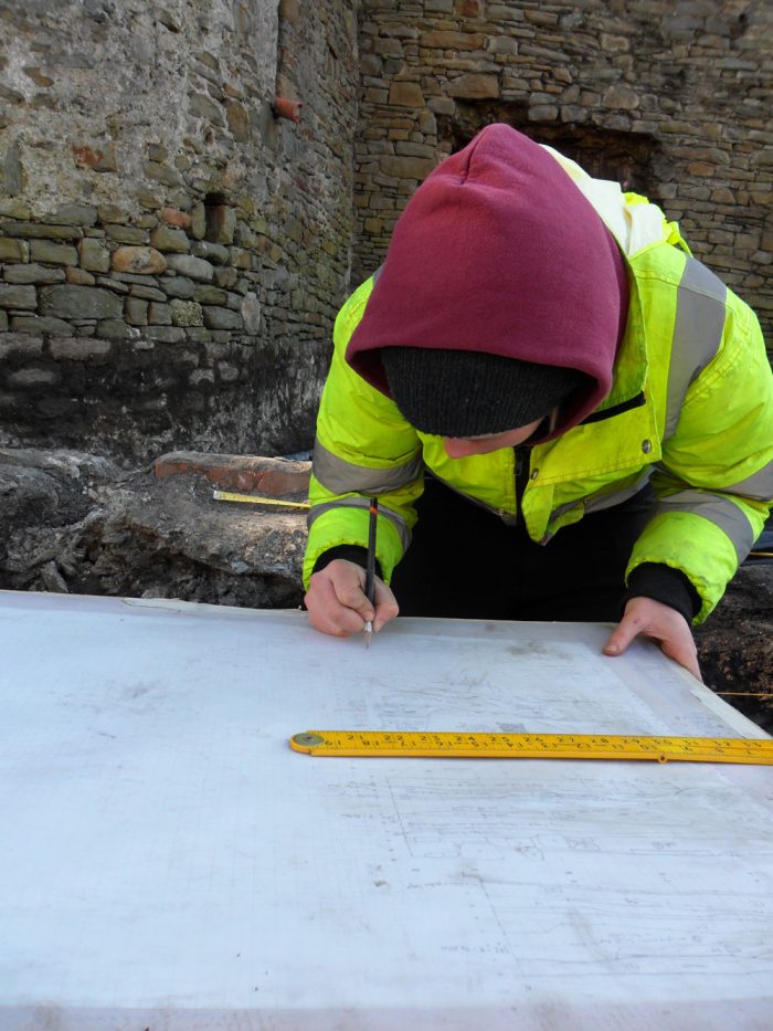
Training and innovation have always been central to Archaeology Wales’ core strategy of delivering high quality and cost-effective services.
Each member of staff receives an annual Appraisal at which their professional development is discussed in relation to the training and development needs of the company. Following this, individual Development Plans are prepared (in conjunction with their CIfA Training Plan and associated CPD).
Staff training comprises attendance at external courses, participation in conferences and seminars, and in-house taught and on-the-job instruction. In recent years external training has included subjects as diverse as the development of GIS (Geographic Information Systems) software skills, instruction in representing clients at public enquiries, and Level 3 Health and Safety Managerial training. Internal training has allowed for the development of our desk-based, geophysical, intertidal, building recording, and palaeoenvironmental archaeological sampling services. Staff have also participated in events and conferences organised by CIfA and CBA Wales.
For new employees, we have a CIfA approved training scheme, which works in conjunction with the BAJR skills passport and allows Trainee Archaeologists to work on commercial development sites while obtaining the skills they need to reach the professional standard of Practitioner (PCIfA).
Innovation has consistently represented an excellent means of improving the range and quality of the services we provide. Over the last few years staff at Archaeology Wales have been involved in a number of initiatives, both in conjunction with others and as stand-along developments. These have included the use Lidar data in desk-based assessments, the development of systems to refine intertidal surveys, and the 3D modelling of peat deposits to help mitigate the impact of a proposed development on potentially important archaeological deposits. We are currently examining ideas for improving the speed and accuracy of on-site recording and post-excavation reporting by using tablet computers in combination with GPS surveying equipment.


